
Ten smallest mapped profiles
This ranking covers every individually coded country and territory profile in the current EqualAtlas collection. It is ordered by the spherical area of the same generalized Natural Earth geometry displayed on the map.
- #1
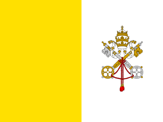 Vatican City1 km²Mapped geometry
 - #2
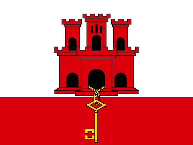 Gibraltar4 km²Mapped geometry
 - #3
 Monaco12 km²Mapped geometry
 - #4
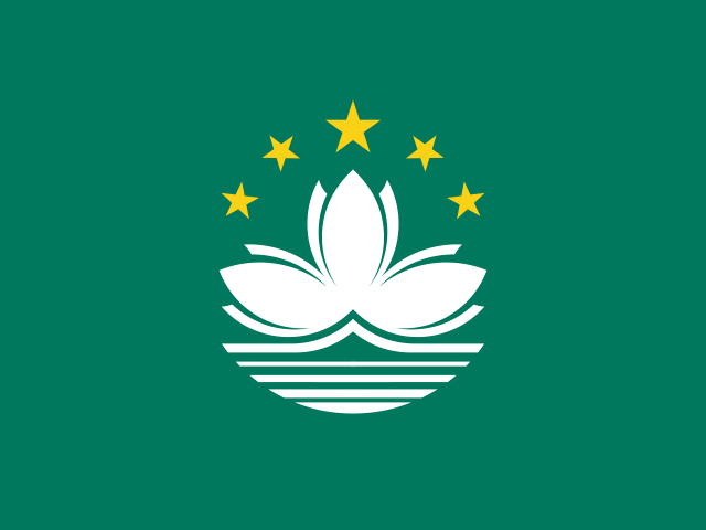 Macao23 km²Mapped geometry
 - #5
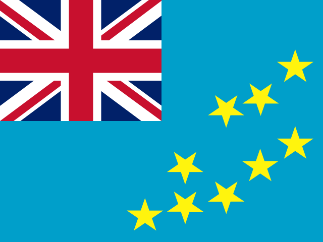 Tuvalu24 km²Mapped geometry
 - #6
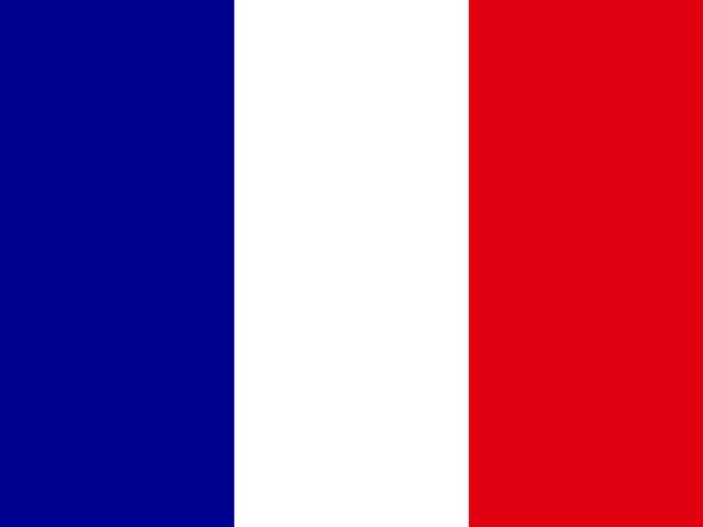 Saint Barthélemy25 km²Mapped geometry
 - #7
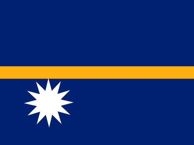 Nauru28 km²Mapped geometry
 - #8
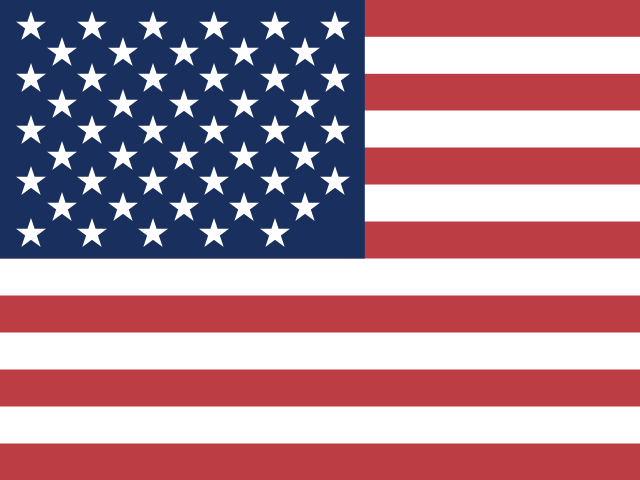 United States Minor Outlying Islands28 km²Mapped geometry
 - #9
 Pitcairn40 km²Mapped geometry
 - #10
 Norfolk Island42 km²Mapped geometry
The list includes territories as well as sovereign states. Very small coastlines and islands are especially sensitive to global-scale geometry resolution, so these values should not replace official cadastral statistics.
The short answer
In the complete EqualAtlas mapped collection, the smallest footprint is Vatican City at approximately 1 km², followed by Gibraltar, Monaco, Macao, Tuvalu. The ranking includes ISO-coded territories, so it will not match a list restricted to United Nations member states.
What counts as a country in this list?
EqualAtlas publishes 238 individually coded Natural Earth country and territory profiles. That broad coverage is useful for a global atlas, but readers must distinguish sovereign states from dependencies and special administrative territories.
Rather than silently removing small territories, the ranking names its inclusion rule. Readers who need a sovereign-state-only list should apply that legal or institutional definition explicitly.
Why mapped area can differ from an official figure
A global boundary dataset simplifies coastlines so the whole world can be drawn efficiently. At microstate and small-island scale, a few simplified vertices can represent a meaningful share of the mapped footprint.
EqualAtlas therefore calls these values mapped areas. They are internally consistent for comparing the displayed geometry, but national statistical agencies or cadastral authorities may publish different totals based on more detailed boundaries, inland-water rules or legal definitions.
Why some tiny places need symbols or insets
A truthful area projection cannot make a tiny state large enough to see on a world map without changing its visual footprint. Interactive focus, labels and profile outlines help readers find these places while keeping the global map proportional.
For classroom or reference use, a magnified inset should clearly state that its scale differs from the main map. Otherwise a visibility aid can easily be mistaken for a size comparison.
How to use the ranking
Use the table as a reproducible guide to the current EqualAtlas geometry. For official area claims, treaty questions or land administration, follow the relevant national authority and document whether the figure includes inland water or associated territories.
Explore the evidence
Sources and further reading
Continue with the Equal Earth projection guide, try the interactive map, or review our methodology.