
Ten largest mapped profiles in the UN M49 Europe group
The ranking uses complete Natural Earth country geometries for the 44 countries in the UN M49 Europe group. Russia is therefore measured in full rather than clipped at a conventional Europe–Asia line.
- #1
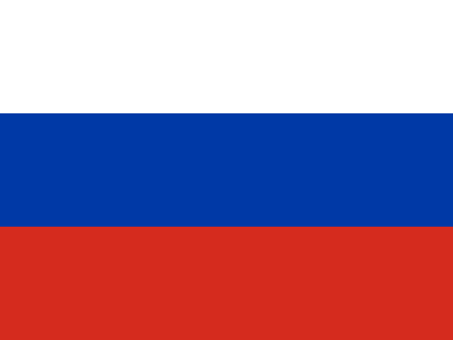 Russia16,852,758 km²Complete mapped geometry
 - #2
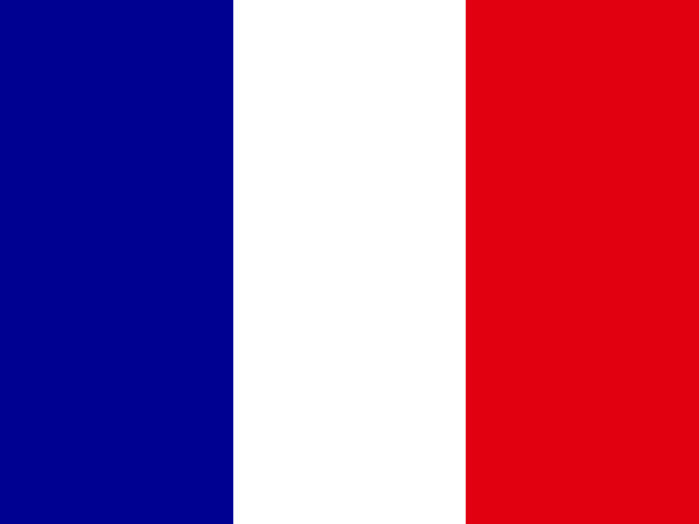 France635,065 km²Complete mapped geometry
 - #3
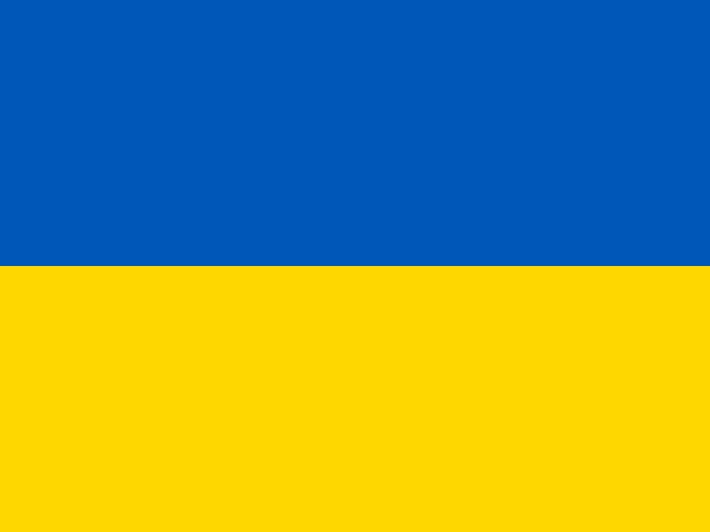 Ukraine597,118 km²Complete mapped geometry
 - #4
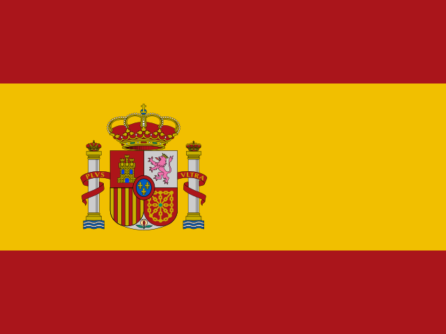 Spain506,179 km²Complete mapped geometry
 - #5
 Sweden442,971 km²Complete mapped geometry
 - #6
 Norway384,264 km²Complete mapped geometry
 - #7
 Germany356,164 km²Complete mapped geometry
 - #8
 Finland330,482 km²Complete mapped geometry
 - #9
 Poland312,567 km²Complete mapped geometry
 - #10
 Italy300,268 km²Complete mapped geometry
This is a reproducible political-region ranking. It includes all of transcontinental Russia and excludes countries assigned to Western or Central Asia by UN M49; a physical-continent ranking would require a different boundary method.
The short answer
Under the stated UN M49 membership rule and complete-geometry method, Russia ranks first at approximately 16,852,758 km². The next four are France, Ukraine, Spain, Sweden.
Why Europe's boundary must be named
Europe is commonly described as a continent, a cultural region and a group of political institutions, but those definitions do not share one boundary. A ranking becomes misleading when it silently switches between them.
EqualAtlas uses UN M49 Europe membership for a stable list of 44 countries, then keeps each country's complete Natural Earth geometry. Cyprus, Türkiye, the Caucasus and Kazakhstan are outside this particular grouping, while all of Russia remains inside its country outline.
What the Russia result means
Russia is transcontinental. Measuring its whole country geometry makes it dominate this list, but that does not mean all Russian territory lies physically in Europe. A ranking of only the land west of a chosen Europe–Asia boundary would answer a different question and produce different numbers.
Why northern countries look different on Mercator
Much of Europe lies far from the equator, so Mercator maps enlarge its apparent area. Equal Earth removes that latitude-driven area inflation while still changing some shape and direction, as every flat world map must.
The numeric ranking comes from spherical geometry rather than the map's screen pixels. The equal-area view makes the visual comparison agree with that purpose.
Explore the evidence
Sources and further reading
Continue with the Equal Earth projection guide, try the interactive map, or review our methodology.