
 Sub-Saharan Africa · ER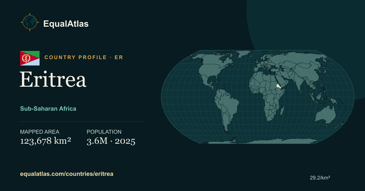
Where is Eritrea?
Eritrea is grouped in the World Bank's Sub-Saharan Africa region. Its listed capital is Asmara. The profile's representative coordinates are 15.33° N, 38.92° E; they are orientation points, not geometric centroids or boundary claims.
How large is Eritrea?
EqualAtlas calculates a consistent spherical area from the same Natural Earth boundary geometry used for the map. For Eritrea, that mapped area is approximately 123,678 square kilometres, ranking #99 among 238 mapped country and territory profiles. It may differ slightly from figures published by national statistical offices because coastlines, inland water and territorial definitions vary by dataset.
People and place
Eritrea had a World Bank population value of 3,607,003 in 2025. Using the displayed mapped area, that is about 29.2 people per square kilometre. Area and population answer different questions, so EqualAtlas keeps their reference methods visible rather than combining them into an unexplained ranking.
Between the fixed comparison years 2000 and 2024, the imported population series changed from 2,247,031 to 3,535,603—a rise of 57.3%. This describes net population change, not its demographic causes.
The latest imported life expectancy at birth value is 68.9 years for 2024, ranking #160 among 215 profiles with data. It is a period estimate based on prevailing mortality rates, not a prediction for an individual person.
Population and economic data: World Bank Open Data. Boundary geometry: Natural Earth via world-atlas. Data and methods are explained on the data sources page.
Countries and territories closest in mapped area
These are the three profiles whose mapped areas are nearest to Eritrea under the same geometry and spherical calculation.
 North Korea
 Malawi
 Nicaragua