
Ten illustrative island-country footprints
This deliberately selected set spans large archipelagic states, states occupying part of a shared island and smaller island states. It is ordered by EqualAtlas mapped area, not presented as an exhaustive category ranking.
- #1
 Indonesia1,872,246 km²Natural Earth geometry-derived mapped area
 - #2
 Madagascar594,623 km²Natural Earth geometry-derived mapped area
 - #3
 Papua New Guinea464,272 km²Natural Earth geometry-derived mapped area
 - #4
 Japan370,075 km²Natural Earth geometry-derived mapped area
 - #5
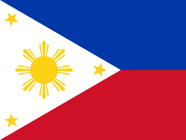 Philippines290,319 km²Natural Earth geometry-derived mapped area
 - #6
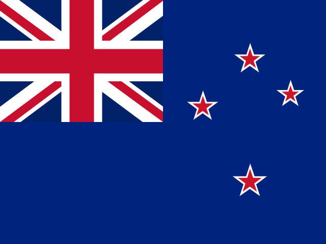 New Zealand266,829 km²Natural Earth geometry-derived mapped area
 - #7
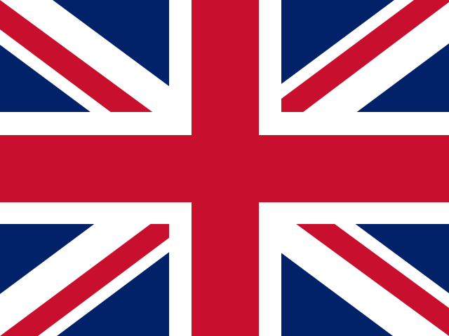 United Kingdom239,616 km²Natural Earth geometry-derived mapped area
 - #8
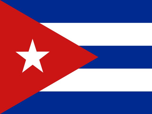 Cuba109,285 km²Natural Earth geometry-derived mapped area
 - #9
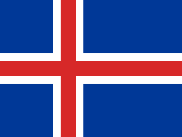 Iceland101,161 km²Natural Earth geometry-derived mapped area
 - #10
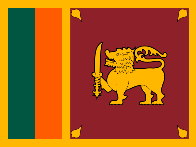 Sri Lanka66,046 km²Natural Earth geometry-derived mapped area
‘Island country’ is not one universally sufficient statistical category. Indonesia and the Philippines are archipelagic; Papua New Guinea and the United Kingdom occupy parts of islands; each row measures the complete geometry assigned to that country profile.
The short answer
An island does not receive a special scale rule. On Equal Earth, one square kilometre has the same visual area relationship everywhere, whether it belongs to Iceland, Sri Lanka, Indonesia or a continental state.
The challenge is visibility, not mathematics. Small islands can disappear at world scale because a screen pixel covers far more ground than the island itself, while Mercator can enlarge high-latitude islands such as Iceland relative to lower-latitude places.
What the Iceland–Sri Lanka overlay shows
Iceland's generalized EqualAtlas footprint is approximately 101,161 km², while Sri Lanka's is about 66,046 km². The shared-scale overlay makes their difference visible without latitude-driven enlargement.
A coastline is data at a chosen resolution
Natural Earth provides generalized geometry intended for small-scale mapping. It removes fine coastal detail so the world remains practical to draw, which means tiny inlets, reefs and islands may be simplified or omitted.
EqualAtlas calculates spherical area from the same geometry it displays. That makes comparisons reproducible inside the atlas, but the values are mapped-footprint estimates rather than cadastral or hydrographic measurements.
Shared islands and archipelagos need definitions
A country may occupy one entire island, part of a shared island, many islands or a mixture of island and continental land. The country profile follows the dataset's political geometry instead of pretending that all island states have the same physical structure.
Dependencies and overseas territories are represented according to the published profile and boundary policy. A claim about an island's physical area can therefore differ from a claim about a state's complete administered geometry.
How to show tiny islands honestly
A world map can keep the polygon at true scale and add a point, halo or leader line for selection. An inset may enlarge the island, but it must declare its independent scale. What should not happen is silently inflating the polygon and then allowing readers to interpret the enlarged symbol as area.
How to use the ranking
Use the ten examples to compare map behaviour across latitude and geometry type. Do not infer a complete list of island states from the table; the selection is an educational cross-section designed to expose the method.
Explore the evidence
Sources and further reading
Continue with the Equal Earth projection guide, try the interactive map, or review our methodology.