
Ten largest mapped African country profiles
The ranking is drawn from the 54 UN member states in Africa plus Western Sahara and ordered by the spherical area of each displayed Natural Earth geometry.
- #1
 Democratic Republic of the Congo2,334,708 km²Mapped geometry
 - #2
 Algeria2,322,793 km²Mapped geometry
 - #3
 Sudan1,863,031 km²Mapped geometry
 - #4
 Libya1,626,373 km²Mapped geometry
 - #5
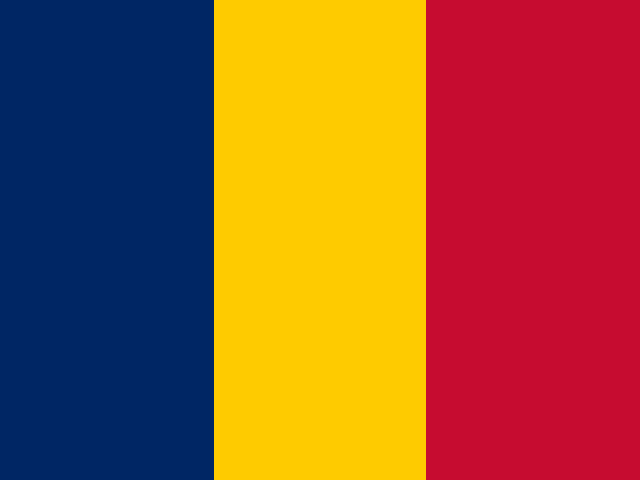 Chad1,270,930 km²Mapped geometry
 - #6
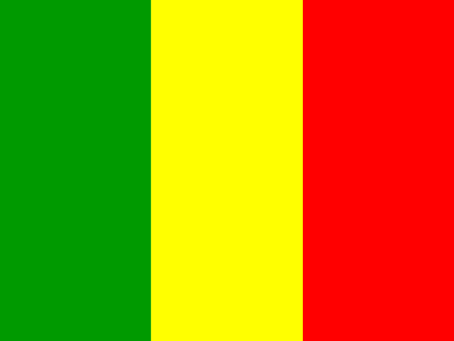 Mali1,258,187 km²Mapped geometry
 - #7
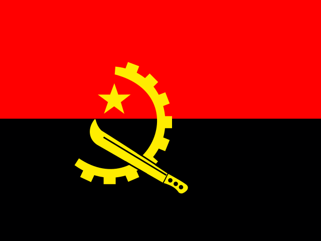 Angola1,249,383 km²Mapped geometry
 - #8
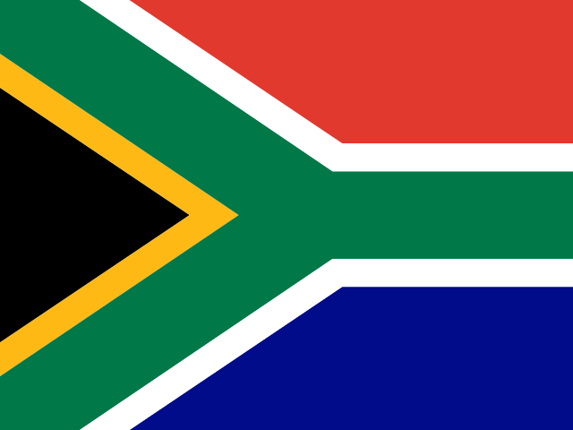 South Africa1,221,612 km²Mapped geometry
 - #9
 Niger1,185,114 km²Mapped geometry
 - #10
 Ethiopia1,131,764 km²Mapped geometry
The region definition includes Western Sahara for cartographic coverage. The top ten should be read as a geometry-based atlas ranking, not a sovereignty statement or cadastral measurement.
The short answer
Algeria is the largest mapped country profile in this Africa definition at approximately 2,334,708 km². It is followed by Algeria, Sudan, Libya, Chad.
How Africa is defined here
EqualAtlas assembles Africa from the complete Natural Earth geometries of 54 UN member states in the UN M49 Africa group plus Western Sahara. The method is explicit so the outline and ranking can be reproduced.
The region is not clipped to a survey-grade physical coastline and the inclusion of a mapped territory does not express a position on sovereignty. Boundary display and political recognition are separate questions.
Why mapped-area lists can disagree
Published totals vary with coastline resolution, inland-water treatment, disputed boundaries and territorial definitions. EqualAtlas measures the same generalized shape that it draws, which makes comparisons internally consistent while allowing differences from official national figures.
What an equal-area map adds
Africa spans the equator, where Mercator enlargement is relatively low. Equal Earth preserves relative area everywhere, so its visual footprint can be compared directly with countries and regions at other latitudes.
The ranking gives exact table order; the map supplies geographic context. Neither should be interpreted without its stated source and boundary method.
Explore the evidence
Sources and further reading
Continue with the Equal Earth projection guide, try the interactive map, or review our methodology.