
 Natural Earth geography · IO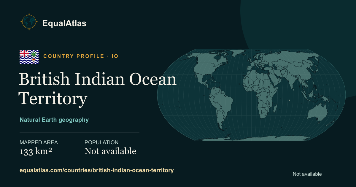
Where is British Indian Ocean Territory?
British Indian Ocean Territory has an individually coded geometry in the Natural Earth world dataset but no World Bank regional record in this release. A capital is not listed in the imported metadata. Representative coordinates are not available for this profile.
How large is British Indian Ocean Territory?
EqualAtlas calculates a consistent spherical area from the same Natural Earth boundary geometry used for the map. For British Indian Ocean Territory, that mapped area is approximately 133 square kilometres, ranking #216 among 238 mapped country and territory profiles. It may differ slightly from figures published by national statistical offices because coastlines, inland water and territorial definitions vary by dataset.
People and place
A current population value is not available in the launch dataset. Area and population answer different questions, so EqualAtlas keeps their reference methods visible rather than combining them into an unexplained ranking.
Population and economic data: World Bank Open Data. Boundary geometry: Natural Earth via world-atlas. Data and methods are explained on the data sources page.
Countries and territories closest in mapped area
These are the three profiles whose mapped areas are nearest to British Indian Ocean Territory under the same geometry and spherical calculation.
 Virgin Islands, British
 Wallis and Futuna
 Liechtenstein