
인구 규모와 국토 면적: 네 가지 국가 유형
순위는 하나의 명시된 지표로 자료가 있는 프로필을 정렬하고 각 값의 연도와 정의를 함께 표시합니다. 짧은 답은 아래 데이터에서 확인할 수 있습니다. 값은 기준 연도와 정의와 함께 읽고, 지도에 보이는 크기는 정적도법으로 판단하세요.
데이터와 출처
아래 표와 비교가 답의 근거를 보여 줍니다. 투영법, 연도, 단위와 영토 범위에 따라 단순해 보이는 결과도 달라질 수 있습니다.
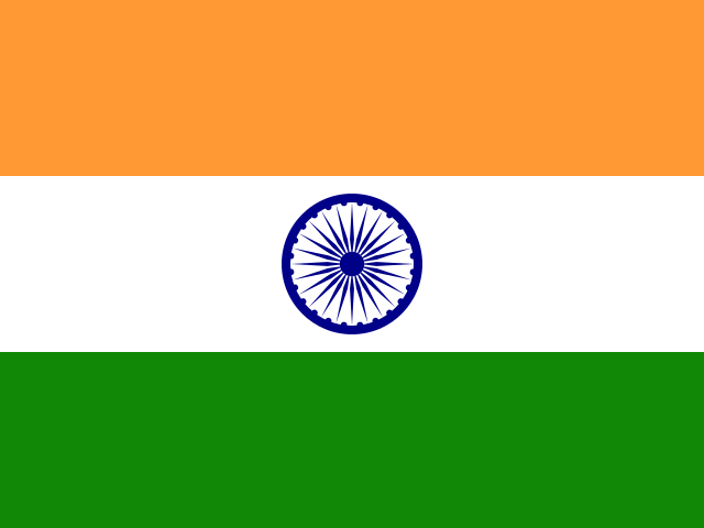 인도
인도
- 지도 계산 면적
- 3,157,942 km²
- 인구 (2025)
- 1.5B
- 계산 인구 밀도
- 463.6/km²
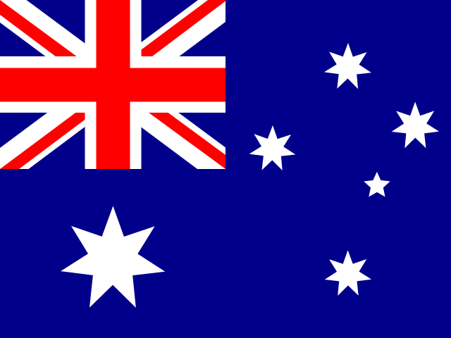 오스트레일리아
- 지도 계산 면적
- 7,706,169 km²
- 인구 (2025)
- 27.6M
- 계산 인구 밀도
- 3.6/km²
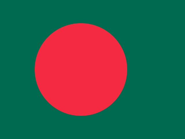 방글라데시
방글라데시
- 지도 계산 면적
- 135,674 km²
- 인구 (2025)
- 175.7M
- 계산 인구 밀도
- 1,294.9/km²
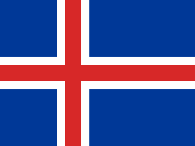 아이슬란드
아이슬란드
- 지도 계산 면적
- 101,161 km²
- 인구 (2025)
- 392.4K
- 계산 인구 밀도
- 3.9/km²
Natural Earth · World Bank
결과 계산 방법
EqualAtlas는 Natural Earth 경계와 세계은행의 최신 지표를 결합합니다. 면적은 구면에서 계산하고 순위와 비교에는 같은 데이터 버전을 사용합니다.
지도 읽는 법
아래 표와 비교가 답의 근거를 보여 줍니다. 투영법, 연도, 단위와 영토 범위에 따라 단순해 보이는 결과도 달라질 수 있습니다.
한계
통계 연도는 국가마다 다를 수 있습니다. 세계 지도 지형은 단순화되었으며 분쟁 경계는 법적 입장을 뜻하지 않습니다.